
In June 2019, Chennai’s four principal reservoirs – Poondi, Chembarambakkam, Red Hills and Cholavaram – were nearly empty[1] . A city of over ten million people found itself confronting an unprecedented water crisis. Hotels were shut, offices transitioned to work-from-home, and many neighbourhoods waited weeks for municipal water tankers, paving the way for a thriving private tanker market.
Four years ago, Chennai’s water problem was at the other end of the spectrum – worst floods in history. Large areas were inundated claiming 400 lives, destroying homes and bringing the city to a standstill (Bandyopadhyay, C., Bindal, M.K., & Manna, M. 2021). While climate change played a role, studies confirmed that the disaster was largely human-made.[2] They concluded that rapid urban expansion, the encroachment of water bodies and natural drainage channels, and inadequately designed and poorly maintained stormwater infrastructure had collectively diminished the city’s ability to effectively and safely manage its water flows.
This raises an important question: What about the current urban form that denies a city the ability to safely move its waters across the landscape during the monsoon, and to store and use them during the drier months? The answers lie in the way the city has been built. Chennai’s relationship with water has severely eroded over the last few decades. Roads, buildings, and other impervious surfaces have encroached upon and been built over the city’s lakes, tanks, marshes, and drainage channels, all of which were once carefully engineered to serve as critical infrastructure for regulating the movement of water across the landscape.
The hard infrastructure put in place is increasingly incapable of handling the climate-induced intense spells of rainfall the city experiences during the monsoon, resulting in pluvial flooding. At the same time, its design logic of quickly moving water into the sea through concrete-lined drainage channels without allowing for local water storage and groundwater recharge leaves the city parched during periods of water stress.
This phenomenon is not unique to Chennai and resonates well with other major Indian cities including Bengaluru, Mumbai, Delhi, Hyderabad and others which oscillate between flash floods and water shortage. Institutional and public memory of such events is short and, importantly, urban water governance treats these as two separate crises to be addressed.
Yet, they are symptoms of the same problem – current urban form producing both scarcity and flooding by degrading the natural ecosystems that once buffered between the two, and replacing them with inadequate, expensive, and poorly managed hard infrastructure solutions.
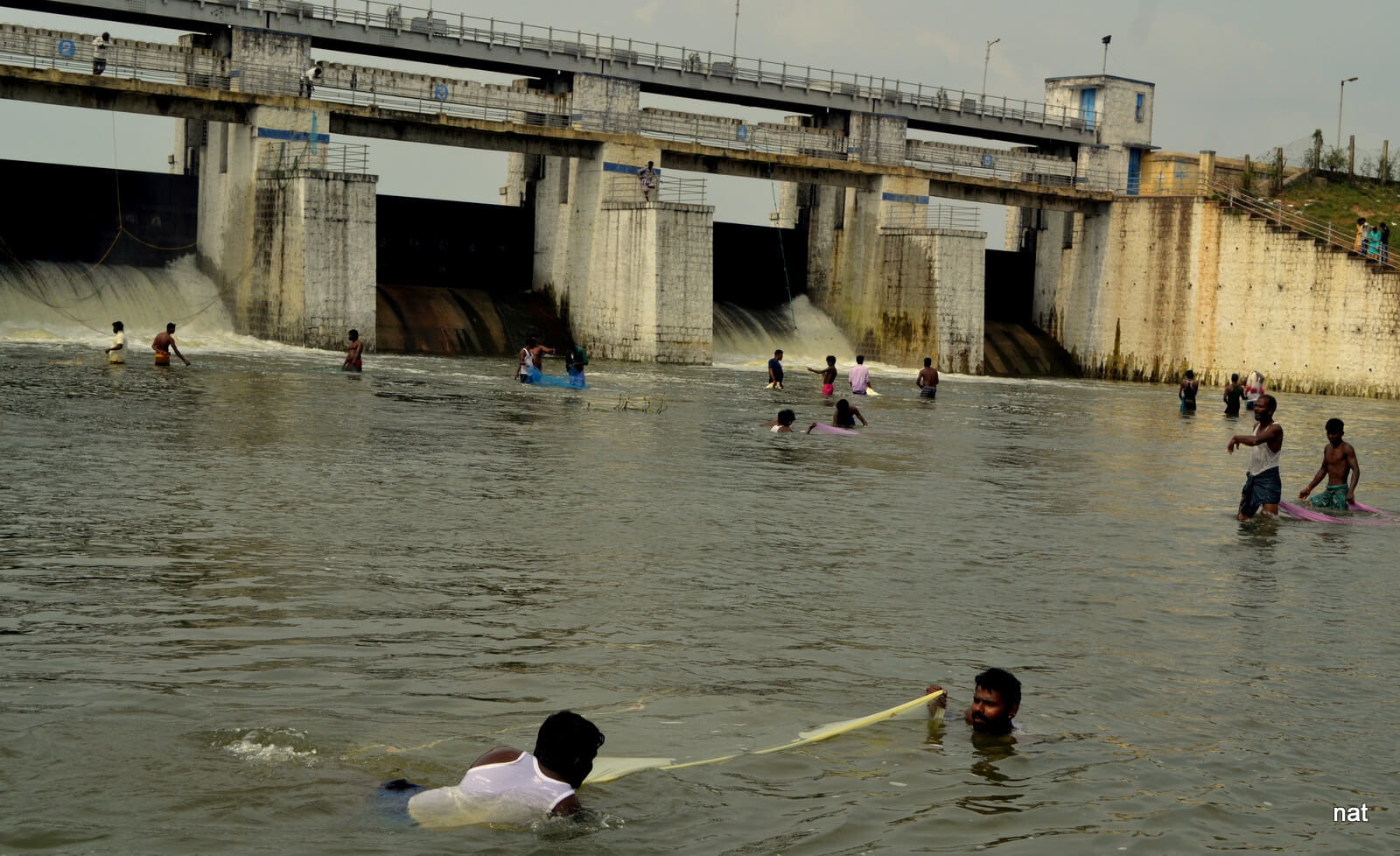
Photo: Wikimedia Commons
Organising society around water
Chennai, like many south Indian cities, evolved around an intricate network of rivers, tanks, wetlands and marshes in a relatively-unplanned landscape. Each generation of settlers advanced the water network through oral history and a shared understanding of water as the commons. Hundreds of inter-connected eris (tanks), linked through cascading drainage channels, slowed the runoff as it travelled from higher elevations towards the coast. The overflow from one tank replenished the next while wetlands such as the Pallikaranai marsh absorbed excess water during the monsoon before gradually releasing it into underlying aquifers through the dry months.[3]
This was slow and deliberate engineering, and required settlers to organise their society around water. In his book Sapiens, Yuval Harari expands on how humans domesticated wheat, that wheat required humans to fundamentally re-organise society to obey the crops growing requirements –- breaking their backs to clear fields, dig canals to supply water and protect it from pests – which changed the way humans lived. Similarly, managing the city’s water commons required Chennai’s early settlers to re-organise itself to the care of the city’s interconnected tanks, rivers and wetlands –- requiring back breaking work, detail and attention. Over the past few decades, however, Chennai waters have been managed through a markedly different philosophy.
Between 1991 and 2021, the built-up area within the Greater Chennai Corporation limit tripled from roughly 102 to 295 square kilometres while the extent of water bodies declined from around 42 to under 19 square kilometres – a staggering 55 percent decline[4]. An assessment by Care Earth Trust found that the city’s wetlands decreased significantly, from covering about 80 percent of the city’s area in 1980 to a paltry 15 percent in 2010.[5] The Pallikaranai marsh, a vital ecological hotspot and hydrological asset shrunk from around 6,000 hectares to under 700 hectares due to the growth of IT corridors[6]
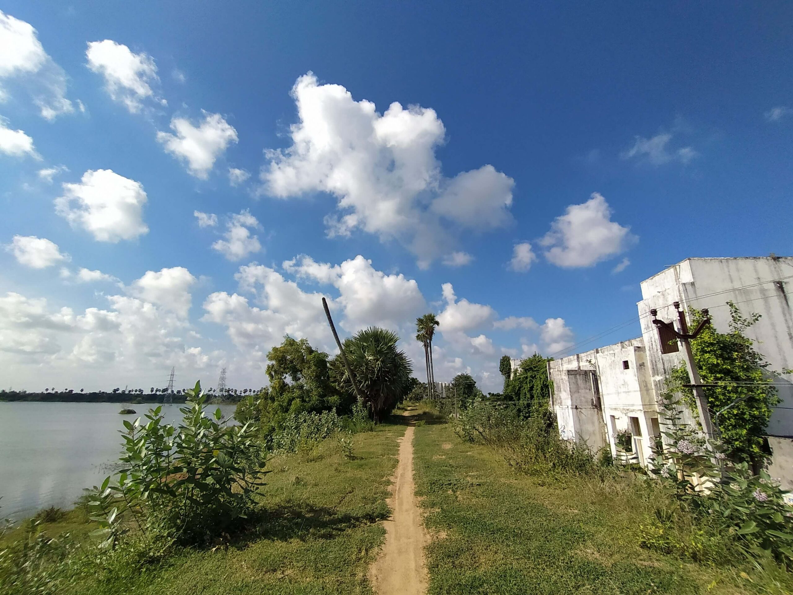
Photo: Anirudh Kishore
Chennai embraced urban development of high modernism. Massive state-led projects abstracted water away from the city to its hinterlands. Water, that was previously relational, became a utility to be supplied to the growing city. Drainage channels were concretised, encroached upon or simply neglected, while tanks and lakebeds increasingly became sites for urban expansion. The Tamil Nadu Housing Board’s eri schemes of the 1970-80s which converted dry lakebeds into housing layouts exemplified this shift. Stormwater infrastructure was engineered to move rainfall away from the city as quickly as possible. Gradually, a distributed system that had evolved to work with water was replaced by one designed to exclude it.
Rainfall, a resource or hazard?
Chennai’s relationship with water is about the erosion of the three fundamental functions that make cities water-secure – slowing water down so it can ‘walk’ and not ‘run’ across the landscape, storing it across seasons, and supplying it reliably and equitably to people. Together, they determine whether a city experiences rainfall as a resource or as a hazard.
In healthy urban watersheds, wetlands, open soils, lakes and permeable landscapes absorb and hold water, and moderate flood peaks while allowing more water to infiltrate the ground. Urban expansion has steadily dismantled this capacity. Water that once remained within the watershed now flows rapidly into the sea. As local storage weakened, Chennai became increasingly dependent on water imported from distant reservoirs and desalination plants – systems that have expanded supply but made it more expensive, energy-intensive, and vulnerable to climatic variability.
Flood and drought are not separate urban challenges requiring separate solutions. They are different expressions of the same design problem.
Nature-based solutions
Chennai, like many Indian cities, is at a crossroads regarding its water management. The first option follows the status quo of modern urban development — acquire more sources of water at a distance from the city and allow continued urban expansion.
The second option is gentle and uses ‘nature-based solutions’ (NbS) as an urban form which help the city restore hydrological functions progressively engineered out of the landscape. The International Union for Conservation of Nature (IUCN) defines NbS as “actions to protect, sustainably manage, and restore ecosystems to address societal challenges—like climate change, food security, and disaster risks—while simultaneously providing human well-being and biodiversity benefits”. Examples include a restored wetland that arrests floodwaters before they reach neighbourhoods downstream, an inter-connected network of water bodies and drainage channels that slow and store monsoon rainfall, and permeable streets, parks and rain gardens embedded across a city’s built infrastructure.
The value of NbS emerges when it works together as part of a larger hydrological system; not as piecemeal solutions. A restored lake whose feeder channels remain blocked cannot significantly reduce flooding. A wetland disconnected from its watershed cannot meaningfully recharge groundwater. The challenge is not simply to build nature-based projects. It is to reconnect the systems through which water moves across entire landscapes.
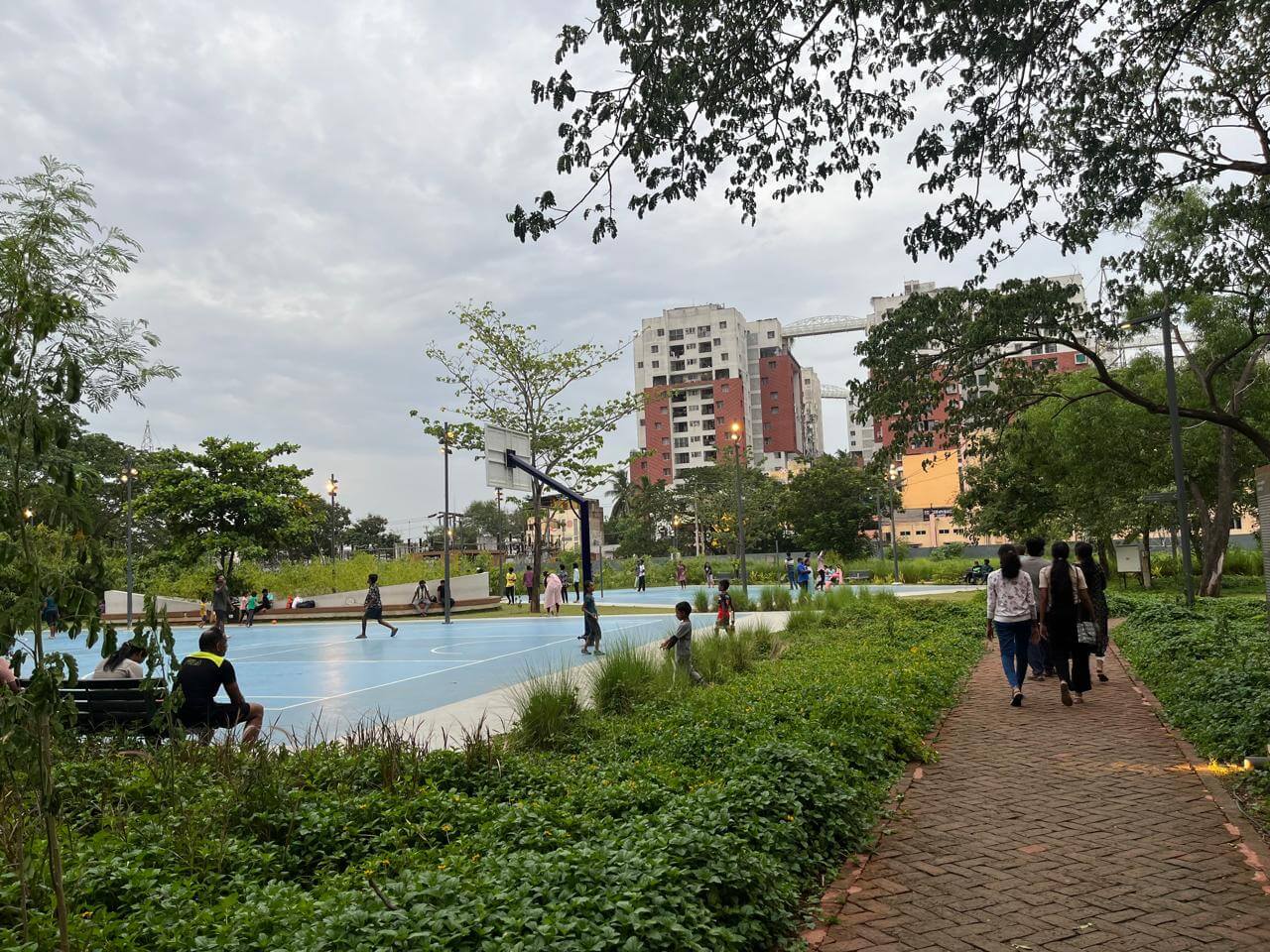
Photo: Ramya MA
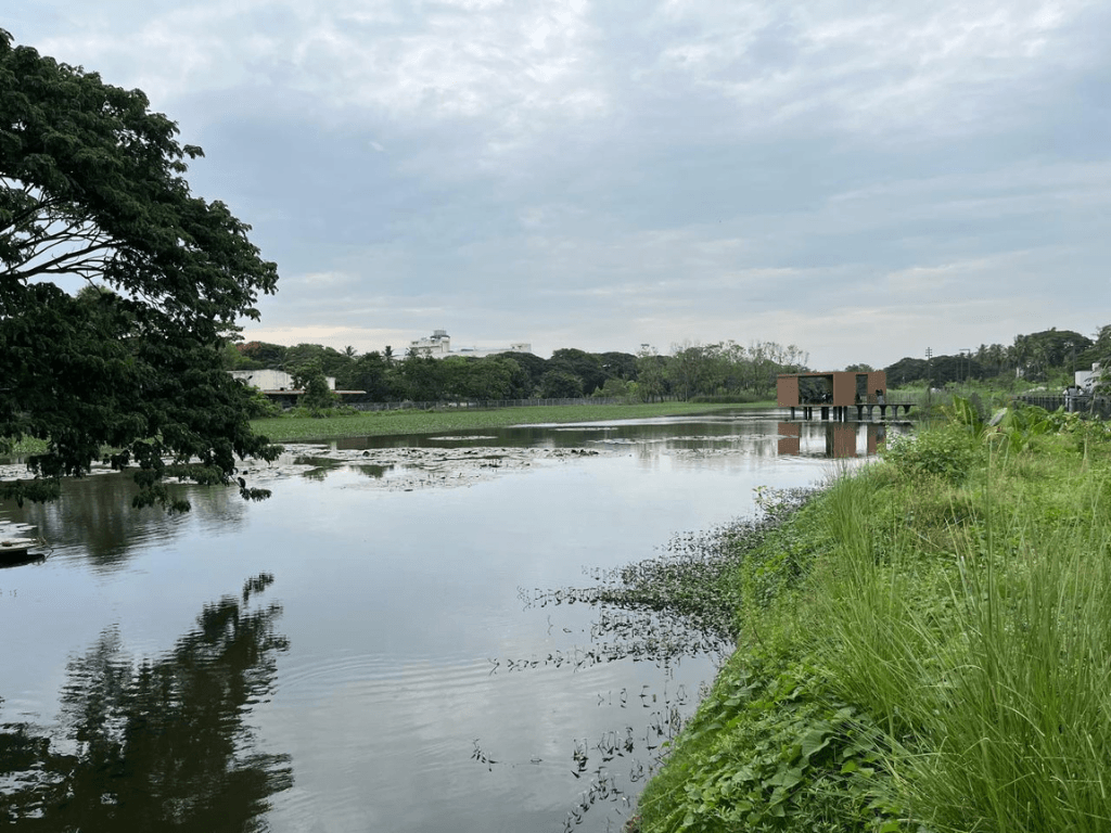
Chennai offers encouraging signs that this has begun. An example is of the recently inaugurated Dr MS Swaminathan Wetland Eco Park in Porur which was once an asphalt parking lot[7]. Stormwater entering the park passes through a series of bioswales, sedimentation ponds, and phytoremediation wetlands before entering a retention basin, where it is stored and slowly infiltrates into the underlying aquifer. Excess surface water drains through a downstream outlet. The park shows what it means to work with water, not against it, while simultaneously creating habitats and providing an open public open. Yet, Porur remains an exception.
The Greater Chennai Corporation operates around 63 sponge parks; another 30 are planned this year. Most were found flouting ecological principles, with their bunds lined with cement, allowing only minimal infiltration[8] and lacking the vegetation needed to improve bund health and provide critical habitats for species. Such parks, therefore, do not perform the wider ecological functions of lakes and wetlands including habitat provision, pollutant filtration, groundwater recharge, and support for local livelihoods.
How to adopt, what must change
Adopting NbS is as much institutional as ecological. The knowledge required already exists. What must change are the planning systems and governance structures through which cities continue to be built. In Chennai, this challenge has a specific institutional shape.
At least six major agencies share responsibility for the city’s waters, each established under its own statute and accountable to different constituents. The Public Works Department manages reservoirs but is primarily oriented toward irrigation, so urban water bodies without an agricultural function slip from its attention. As a result, the Chennai Metropolitan Water Supply and Sewerage Board supplies drinking water from over those reservoirs it has no authority to desilt or maintain.
While the Greater Chennai Corporation manages stormwater drains, it has historically compromised groundwater recharge by allowing discharge to the sea. The Chennai Metropolitan Development Authority controls land use, yet its current Master Plan has classified substantial sections of natural drainage channels as residential and commercial land while the hydrological data of these channels is held by the PWD.
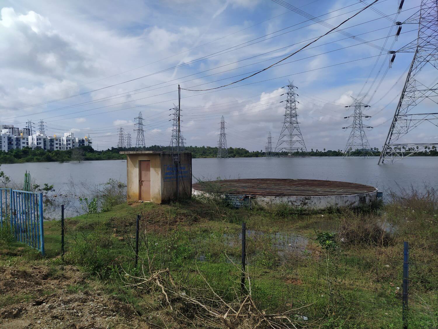
Photo: Anirudh Kishore
The last formal survey of the city’s water bodies was conducted in 1987. In the absence of updated mapping, most seasonal wetlands remain classified as ‘wastelands’ under a framework inherited from colonial revenue administration, rendering them eligible for development. Urban local bodies, which ought to have the most direct stake in the health of neighbourhood water systems, remain largely sidelined despite the 74th Constitutional Amendment.
What is called for is a different institutional architecture. A study by Roy and Ayyangar[9] suggests forming a city-level ‘water council’ to convene all the agencies responsible for the city’s water supply, drainage, maintenance, planning and pollution control, with strong participation from the public for co-learning, designing, and executing the management plans. By creating a shared forum, the council could reaffirm the interconnectedness of urban water systems at an institutional level, ensuring that drainage corridors are not re-designated for development, and that stormwater management prioritises functions such as local water storage and groundwater recharge.
The successful restoration of Chitlapakkam and Thazhambur lakes demonstrate how engaging local residents as active stewards in design and management is necessary and complementary to formal rules and responsibilities, creating governance that promotes shared ownership and accountability. Learnings from such experiences need to shape how neighbourhood-level lake councils are conceived and operationalised. Conservation organisations such as Care Earth Trust, Okapi Research, and Arappor Iyakkam that have deep technical knowledge of Chennai’s wetlands, and are involved in such efforts, must be embedded in the structures rather than consulted at the margins.
Chennai’s third Master Plan 2046, currently in preparation, is a once-in-a-generation opportunity to embed these commitments spatially: To designate surviving eri complexes and marshlands as water infrastructure, to retire the wasteland classification, and to require that any development within a catchment demonstrates its hydrological impact before approval.
Tamil Nadu’s State Action Plan for Climate Change (TNSAPCC) projects that by 2050 the state could receive around five percent less annual rainfall and experience nearly 2 degrees Celsius of warming.[10] Climate-related water extremes are expected to intensify as the southwest monsoon weakens and the northeast monsoon brings more intense cyclonic events. A climate change risk assessment conducted for Chennai estimates that a one-in-ten-year flood would inundate close to 32 percent of the city area.[11]
Further, at least 215 slum settlements along the coast face the risk of being submerged from sea level rise by 2100. These projections describe a future in which building against water rather than with it makes it harder. The most resilient cities will not be those with the deepest drains or the most distant water supplies. They will be those that recognised, in time, that wetlands, lakes and floodplains are the infrastructure through which cities slow, store and sustain their relationship with water; that rebuilding this relationship is not an environmental choice, but a condition for urban form and life itself.
Anirudh Kishore is an independent researcher and climate consultant based in Goa, India. He is interested in how societies can better understand and respond to climate risks, and what enables locally grounded adaptation solutions to scale. His research and advisory work spans nature-based solutions for urban resilience, governance of shared water resources, and leveraging data and finance to enable climate adaptation in the Global South. Anirudh holds a graduate degree in Water Science and Policy from Shiv Nadar University, Delhi.
Sahil Mathew is an independent researcher based in Bengaluru, India. He employs transdisciplinary methods to answer questions surrounding cities, climate change and justice. He is particularly interested in how digital infrastructure can nudge climate-adaptive governance in urban areas. Sahil holds a graduate degree in Water Science and Policy from Shiv Nadar University, Delhi.
Cover photo: Retention pond and walk board at MS Swaminathan Wetland Eco Park, Chennai. Credit: Ramya MA