Close on the heels of independence in August 1947, amidst a flurry of projects and institutions set up to shape a new nation, the effort to urbanise India by planning and building new cities took off in the late 1940s and early 1950s. Chandigarh, among the first of the three new cities, was followed by Bhubaneswar and Gandhinagar. These cities were to be reflections of a modern and secular new nation; built form of the new democratic republic, as it were.
India’s urbanisation has long surpassed the political-architectural ambitions since and is now influenced – even determined – by private capital and high-technology. In the intervening decades, the template set by the new cities informed, in small or large measure, urban planning across the country – barren land or acquired agricultural land forming the basis of cities envisioned as neat little sectors joined by arterial roads with the Secretariat and the Assembly – seat of political power – strategically placed. The grid plan with straight modernist lines and identical dwellings was to be India’s template.
What did the templates drawn up by internationally famous architects Le Corbusier, Otto Koenigsberger, and their Indian disciples bestow us with, and what were their lacunae? To examine these and similar aspects, Question of Cities explored Chandigarh and Bhubaneswar and parsed the making of Gandhinagar.
Decades later, the three cities have expanded far beyond the framework of their master plans in not only physical terms but also their character and significance. The lessons learned cover a large ground but can be categorised into four domains: Ecological sustainability, socio-economic inclusiveness, the idea of commons or public places, and people’s participation in planning.
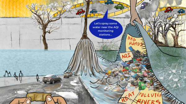
In most respects, the master plans leave a lot to desire. It may be argued that the plans were drawn up in a different political, economic and ecological era, and therefore should not be seen through the prism of our current concerns. It is partly true that the plans reflected the fascinations of a newly-independent India as a socialist republic with the government undertaking greater social welfare and development responsibility, and the understanding of city planning as it existed internationally in the 1940-50s. They are, therefore, symbolic of their time. However, it is equally important to remember that principles of sustainability and values such as democratic participation are, historically speaking, universal and timeless.
Ecology in plans
Looking back at what Le Corbusier drew up for Chandigarh, Otto Konigsberger for Bhubaneswar, and HK Mewada and PM Apte – disciples of Le Corbusier – for Gandhinagar, it can be said that the plans broadly recognised local ecology of the sites chosen for the new cities but whether they comprehensively accommodated these in the plans – or allowed the plans to be led by local ecology – is open to jury. The plans did not explicitly refer to climate responsiveness perhaps because Climate Change was not a pressing issue, but ecological sustainability and building in accordance with nature were ideas already articulated in many historical towns and settlements, including by conservationist-town planner Sir Patrick Geddes among others in British India.
Chandigarh, in the words of the then Prime Minister Jawaharlal Nehru, was to symbolise a future “unfettered by the traditions of the past”. Le Corbusier, a French Modernist architect, was supposed to realise this vision in physical terms. He planned Chandigarh as a grid, with self-sufficient sectors, tilted towards the Shivalik foothills and a periphery of green space around the city to demarcate the urban from the rural. It is said that there were many deliberations on the exact location and orientation of the city from the perspective of the prevailing hot and dry climate in the region.
Le Corbusier’s plan relied on the majestic Shivalik hills as the backdrop to his monumental Modernist Capitol Complex, allowed the choes (river streams) to define the eastern and western boundaries of the city, and imagined that the N Choe through the centre of the planned city would be a continuous green belt which was eventually turned into the Leisure Valley. The Sukhna Choe was to be dammed, in keeping with the then prevailing idea of large dams, and the Periphery Control Act disallowed unregulated urban development within a 16-kilometre radius.
Over decades, Sukhna lake has faced ecological challenges. In the 1970s itself, nearly 63 per cent of its storage capacity was reduced given the high rate of siltation from the hills; it has frequently dried up too. The choes have turned into carriers of untreated sewage and solid waste, though the reserved forest area around them offer reprieve. That the choes have informal settlements or ‘encroachments’ can be put down as flawed implementation of the plan rather than a shortcoming of the plan itself – yet it leaves open the question why the plan did not account for informal settlements or the working class.
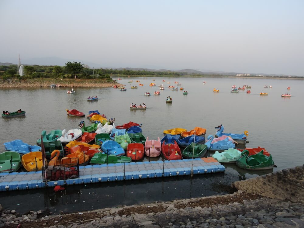
Photo: Creative Commons
Bhubaneswar presents another facet of side-stepping an area’s ecology in city planning. While the planned city is verdant and green, the plan did not account for its expansion which has now cut right through the Chandaka (in which Khandgiri-Udaygiri caves are situated) and Nandankanan forest areas reducing them to a fraction of what they were in the 1940-50s.
As Bhubaneswar expanded, it spread in ways that Koenigsberger might not have visualised. Its footprint is now much larger and, in this expansion, it has encroached on agricultural land around the planned city as well as cut into nearby forests. This has put the city on the path of unsustainable growth at the expense of its ecology – the impact of which are borne by the less-privileged people.
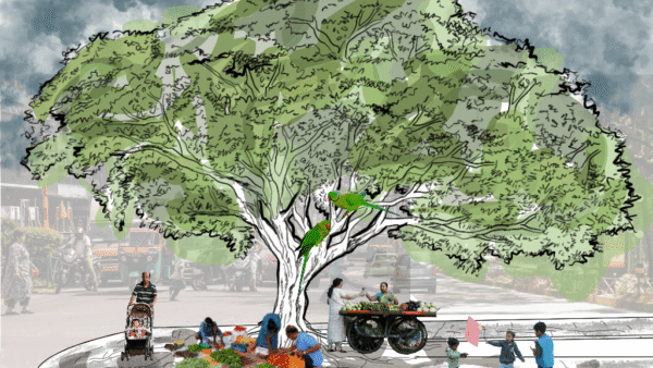
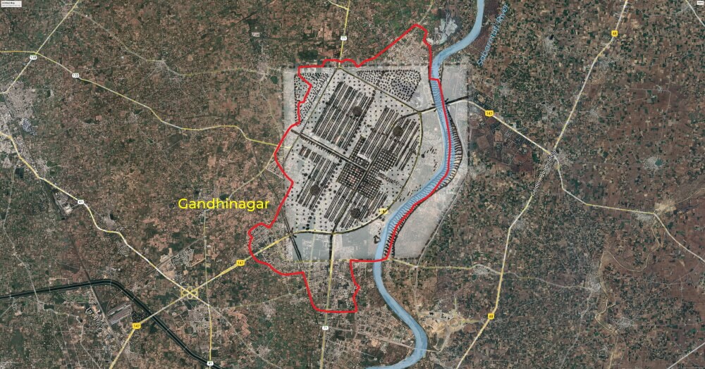
Gandhinagar continues to be a green city with abundant tree cover, but mostly using the monoculture approach shorn of natural bio-diversity. The plan, which was also a grid with self-sufficient sectors, hardly accounted for the loss of forest cover or open areas as the city expanded. The stretch between Gandhinagar and Ahmedabad is now a thriving land market with large infrastructure and urban projects such as GIFT City, whose commercial considerations far outweigh ecological harmony with their surroundings.
“The change analysis revealed vast growth in rural and urban built-up, majorly, at the expense of agriculture, slightly contributed by the decline in scrubland,” stated this report in 2016.[1] Also, despite planning the city on the banks of Sabarmati River, the master plan had little to offer by way of integrating or responding to the river and its eco-system into the city.
Photo: Creative Commons
Social inclusiveness
The first three planned cities of independent India had one aspect in common – they were envisioned as administrative capitals and, therefore, meant to house government officials and bureaucrats within the grid with sectors or units allotted to people according to their rank in the official hierarchy. They failed to, or at least ignored, the need for space and infrastructure for the working classes.
What this meant was that a city’s population was rather regimented, not mixed in terms of class, caste and religion. Moreover, each sector or unit was supposed to be self-sufficient which meant little interaction between people of different social status. Worse, as was brought out in this essay, the plan did not account for living quarters of the men and women who built the cities from scratch.
The segregation of people along their class and government job status meant, as an Ahmedabad-based planner told us, “People mingling with only people like themselves in an otherwise dead city” with none of the vibrancy and spontaneity palpable in cities with mixed populations. The segregation, as an element of a modern planned city, makes for neither equal cities nor just cities. In fact, in the Indian context, this sort of segregation is a throwback to a feudal-rural system where dwellings are arranged on the basis of caste and nobility – and far from the Nehruvian ideals of modern democracy that were to be realised in architecture.
In the Bhubaneswar plan, despite Konigsberger’s desire to merge the old temple town and residents into the new city, it did not quite come off. The result, as this essay vividly pointed out was that the old town remains an exotic and little-visited place for the city’s residents and what little integration is seen has come through the economic interactions between people in the old and the new. Gandhinagar too, as originally planned, was meant to house the elite and middle classes.
The plans were perhaps ahead of their time in one respect – the self-contained sector or unit drawn up on a mixed-use format with people’s needs met within walking or cycling distance is uncannily like the new-age concept of the “15-minute city” which caught the world by storm after the Covid-19 pandemic. To the extent that it reduced reliance on automobiles, it made for a less-polluted city.
Public places
The planned arterial streets and tree-lined boulevards, carefully located parks and playgrounds made for comfortable and pleasant cities. But the extent to which the plans embraced – or not – the Indian idea of commons or public places remains a matter of debate. The parks and boulevards within sectors including Chandigarh’s Leisure Valley, though desirable, are at best regulated public places. The old Indian city concept, such as the ghats in Varanasi to take an example, had ample public places with relatively free access.
In Chandigarh’s development, nearly 20 per cent of the land was planned as open spaces but with meticulously planned hierarchy of such spaces, landscaped areas, avenues and gardens from the neighbourhood level to the city level in ways, which some say was intentionally combined with low-rise walls and buildings so that the built form would allow people to feel one with nature. It continues to be a “green city” like the old Gandhinagar.
Yet, the question remains whether these regulated open hierarchical green spaces, often barricaded, foster collectivism and collaboration between people, if they bring people together in protests, celebrations or common interests. Just as informality – of people, economy, space use – was not built into the master plans of these cities, the planned use of these spaces as urban commons has been limiting. The emphasis, it seems, was on order, structure, and hierarchy in the cities rather than on free-flowing, common spaces.
Photo: Creative Commons
People’s participation
Of the three cities, Bhubaneswar might have had some sliver of people’s participation in the planning, not Chandigarh and Gandhinagar. After Koenigsberger drew up his plan, he happened to move to New Delhi on another assignment, which meant that its implementation was in the hands of Indian engineers and bureaucrats, who by default, contributed to the plan. But there was not a larger consultation with people. Koenigsberger wanted people’s participation but, it appears, that his intentions were scuttled.
Questions may be rightly posed about how people can participate in a city’s plan on a greenfield site but surely people who come to occupy the various sectors and units in a grid can be involved in drawing up neighbourhood plans, particularly in the expansion of the city areas, which was not how these cities were imagined. As a concept, neighbourhood planning may be traced back to some of these plans but it was the built form and self-sufficiency within an area that came to be seen as neighbourhood-based development.
Participatory planning, especially if efforts are made to include all classes of people, can break down exclusivity of neighbourhoods that came about as a result of such master plans, and increase access of a larger number of people to the public realm.
National Commission on Urbanisation
Almost 40 years after the three cities were planned and built, the then Rajiv Gandhi government set up the National Commission on Urbanisation in 1986 with the late well-known architect Charles Correa, also a disciple of Le Corbusier and treading his path in the initial period of his practice, heading it. The Commission’s report in 1988 can well be considered India’s first national policy on urbanisation.
It brought together an eclectic set of professionals from fields such as architecture, economics, industry, engineering, administration and so on to weigh in on how India’s cities were to be planned and built. This was because India’s urban population had not only quadrupled in the four decades since independence but the rate of growth of urban population was twice that in rural India. While the Commission report acknowledged that “urbanisation is a necessary concomitant of the development path we have chosen,” it also foregrounded the fact the cities as engines of growth also showed urban malaise such as defective planning and decaying infrastructure noting that “the urban situation in India is one of deep crisis and calls for measures analogous to those used when a house is on fire, or there is a city wide epidemic.”
The Commission, recognising the role of the rural-urban linkage, recommended that while megacities have their worth and must be developed, India’s urbanisation must focus on intermediate urban centres with a definable hinterland, and identified 329 towns and cities. “Instead of remaining isolated centres of economic activity, with weak linkages with the rural hinterland, the cities must become vibrant centres, making the best use of the natural and human resources in the region where they are located and, over time, expand their economic base to enable them to assume economic functions which transcend their regional boundaries,” it stated.
More than a hundred of the 329 were in districts where the majority population was rural and agricultural-based. This was a major break from the colonial era and immediate post-independence urbanisation which focussed only a few greenfield star cities. The Commission did mention environmental concerns and addressed issues of social equity, but the focus was urbanisation as a tool of development in urban centres and neighbouring rural areas so that large-scale migration could be avoided.
To that extent, explicit concerns about ecological sustainability, climate preparedness, people’s participation in planning, and urban planning as a tool of democratic change are hard to find. For all its worth, the Commission’s report has largely adorned shelves in government offices. Later, in the decades of the Jawaharlal Nehru National Urban Renewal Mission (JNNURM), the emphasis was on specific projects as India’s urbanisation gained momentum. Since 2014, the theme has been the Smart Cities Mission which is focused even more narrowly on upgrading certain select locations in 100 cities.
Even as urbanisation across India, from mega cities to small towns, mostly revolves around monetisation of land, large and isolated infrastructure projects, the pre-occupation and fascination seems to be increasingly with hi-tech “solutions” to urban “problems” rather than a comprehensive approach – and inquiry – to how we want our cities to be. There is no doubt that India needs a comprehensive urbanisation policy and paradigm addressing the two major challenges that cities face today – Climate Change and extreme inequalities.
Cover photo: Aziza Bharti/ Creative Commons