Like Bhubaneswar, Gandhinagar was planned according to the neighbourhood concept. Divided into 30 residential sectors around the State-Secretariat Assembly Complex, each sector has a school, dispensary and a shopping centre — like the Bhubaneswar master plan. Designed and planned axially based on egalitarian and Gandhian ethos, the city’s population is now more than 13 lakhs.
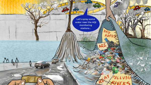
Known as the ‘tree capital of India’, the administrative capital of Gujarat has seen rapid urbanisation at the cost of ecology. Gandhinagar, though visualised on the banks of the Sabarmati did not actively integrate the river or its ecosystems into the master plan of the city. As the Gandhinagar-Ahmedabad corridor develops with many institutions opening campuses and rampant construction, Gujarat’s capital city is struggling to retain its identity.
This compendium of books and research papers narrates the city’s history, its growth and its changing urban interface.
The transformation
Author Ravi Kalia’s trilogy charts the history of the formation of capital cities in postcolonial India. In his book Gandhinagar: Building National Identity in Postcolonial India writes:
Gandhinagar, the capital of Gujarat in western India, struggled to represent the influence of its native son Mohandas Karamchand Gandhi and his policy of swadeshi (Indian-made goods; literally, “of our own country”) on the development of the city. Built nearly a generation after independence and Gandhi’s death in 1948, Gandhinagar represents a purely indigenous effort in planning and development by Indians. Whereas in the cases of Bhubaneswar and Chandigarh, Indians were forced to acquire technical help from the West, in the case of Gandhinagar they were themselves prepared to undertake the planning.
Gandhinagar was built to serve as the capital of the new state of Gujarat after the bifurcation of bilingual Bombay in 1960. Gandhinagar’s story focuses on the historical process through which independent India attempted transformation to modernisation and self-sufficiency. Gandhinagar further explores the earlier debate that was central to the building of Bhubaneswar and Chandigarh – the traditionalists harking back to the historicism of the nineteenth century and the reformists calling for the brave new architecture of the modern international style for India’s future.
“…In retrospect, planner H.K. Mewada’s conceiving of the Gandhinagar plan in the image of Gandhi stands vindicated. Because Gandhi’s own ashram was located downstream on the Sabarmati banks, Mewada placed the Gandhi monument (yet to be constructed) on the banks of the river overlooking the capitol complex along the main axis…The monument would overlook the great expanse of the lake and the parks and [the] recreational areas along the Sabarmati …and would be seen from almost anywhere in the town,” Kalia writes. Mewada, himself trained in the United States, was willing to borrow Western ideas wherever he felt they could be used appropriately.
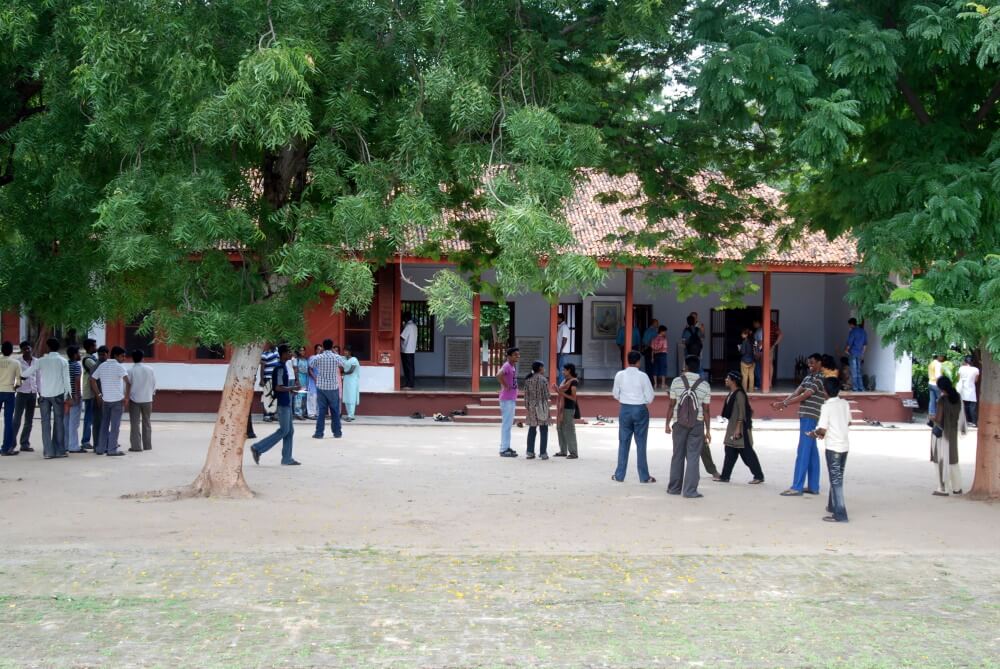
Photo: Radha Krishna Balla/ Flickr
Expansion destroys traditional urban design
Senior town planner and one of the two planners of Gandhinagar, Prakash M Apte, in an in-depth write-up ‘Gandhinagar Endangered: A Capital’s Plan Dismantled’ looks at the history of town planning in Gandhinagar, which was developed with an “egalitarian ethos”, but now it is at risk of becoming “just another suburb”. He writes:
The “gamthan” (built-up land in a village) areas of seven villages just abutting the city limits of Gandhinagar are increased arbitrarily (much beyond their natural growth requirements) to allow private residential development (who have bought these lands?). These enhanced Gamthan areas together may accommodate a population of over 1,50,000. thus totalling 750,000. Ironically the original plan of Gandhinagar did provide for similar expansion of population and the city area yet retaining its identity, concept and urban design.
The consultants, thus dealing a death blow to the organic growth of Gandhinagar, have helped private developers to get cheap lands to develop commercial and residential apartments with access to free physical infrastructure (roads-water supply etc,) health, education and cultural facilities provided in Gandhinagar by the State Government.
Not content with this abuse of the basic concept, the consultants have dismantled some important urban design features of the plan. A major area for cultural facilities, in the city square in sector 17 of the city centre is proposed to be converted to commercial use, killing Gujarat’s traditional concept of a ‘city square’ and destroying a major element of ‘urban design’ of the new capital city.[1]
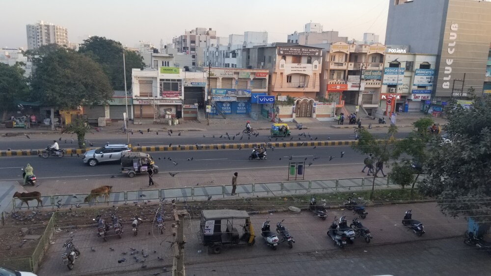
Photo: Creative Commons
Social integration important, but ignored
H Nivedita Varma and Dr Priyanjali Prabhakar, Department of Architecture, College of Engineering, Trivandrum, in their research paper ‘Patterns Of City Making’ write:
Gandhinagar, the capital city of the state of Gujarat is situated approximately 24 km to the north of Ahmedabad, in western India. The city was planned and implemented between 1965-1970 by two Indian planners, H.K. Mewada and P.M. Apte, and an influential group of architects from Ahmedabad with active support from some industrialists. Planned as the administrative capital of the state, the current and future population employed in state government offices was distributed in 30 residential sectors around the State Assembly-Secretariat complex. Each residential sector could accommodate about 50 per cent of the population, and was intended to house the half of the population employed.
Even though the planners had thought of social integration, the elaborate distinction in the occupancies of each sector, they did not provide enough incentives for people of all classes to settle here. Thus the houses occupied by the purely ‘administrative’ sector remain exaggerated in scale yet isolated and empty in existence.
The rigidity of the ‘sector’ patterns restricts further growth. It is impossible to limit the growth potential of any city to any one direction, one can only guide it. Any action strictly curbed will over time change its needs and in all possibility reject the pattern dictated. This is what is happening in Gandhinagar. The initial growth pattern of Gandhinagar was to be to the west, the lines concurrent and extensions of the present sectors. But now proposals show a development plan to the south of Gandhinagar, linking it via commercial routes. The planners seem to mesh Gandhinagar into Ahmedabad. The identity of the new capital city now lies as a suburb of Ahmedabad.[2]
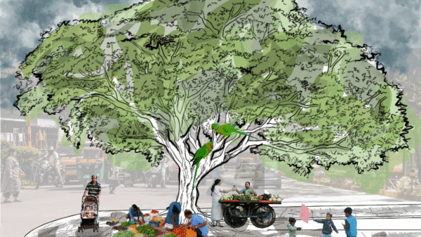
Green cover depleting
In March 2022, Journal of Urban Management published a research article ‘Examining and predicting land use change dynamics in Gandhinagar district, Gujarat, India’.
Gandhinagar city leads all the major capital cities in the country in green cover by having 416 trees per 100 persons, followed by Bengaluru 17 trees per head. However, the tree density per hectare (15.2) is surpassed by many other cities including Bengaluru (19.9), Brihan Mumbai or Greater Mumbai (43.2), Nagpur (98.9) and other cities of Gujarat like Vadodara (45.9) and Bhavnagar (91.3) (Ramachandra et al., 2014)[3]. The per capita green space in units of meter square per capita for Gandhinagar is the second highest in India (29.77 m2), just behind Chandigarh (38 m2) (Ramaiah and Avtar, 2019)[4].
The Smart City proposal (released versions) and urban development plan do not incorporate details on the mechanism to sustain and increase green cover. The further action plan for smart city must discuss in detail how its 2027 target of 1400 ha of green cover per 1,00,000 people would be achieved with expanding urbanization (MoUD, n.d)[5]. The increase in green cover is to be discussed with various case scenarios of expanding population and built-up areas to prevent its replacement by built-ups. Moreover, just like other capital cities, urbanisation would slowly occupy the whole tehsil further covering the entire district. Therefore, accounting the land-use of the whole district will help make better policies for a planned urban development[6].
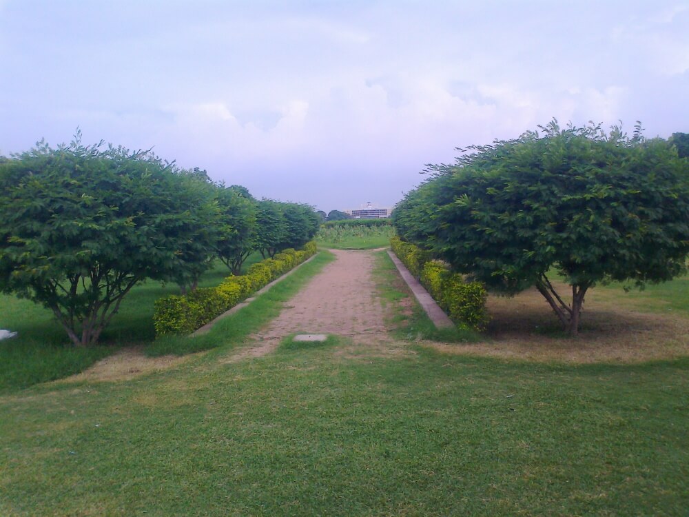
Photo: Raj Odedra/ Wikimedia Commons
The indigenous planning of Gandhinagar
Sweta Byahut in her research paper ‘The unique challenges of planning a New Town: the Gandhinagar experience’ writes: “While Chandigarh and Bhubaneswar were designed by the renowned foreign architects Le Corbusier and Otto Koenigsberger, respectively, Gandhinagar’s planning was indigenous, keeping with the swadeshi ideals of Mahatma Gandhi, after whom the city was named (Kalia 1997, 2004).
The planning of Gandhinagar was also inspired by Chandigarh. It was similarly laid out on a strong, symmetrical grid, characterized by broad town roads, vast open spaces, and divided into rectangular “sectors” or self-sufficient residential neighbourhoods. The sector was the outcome of combining the neighbourhood unit and the hierarchical classification of urban streets concepts that gained popularity in the mid-twentieth century (Mehaffy et al. 2010). The neighbourhood unit was introduced by Perry and Stein in the 1920s in America as a basic city building block and a physical tool for neighbourhood design (Vidyarthi 2010a, b).
It aimed to increase convenience and opportunities for community interaction by placing schools, parks, and community facilities within walking distance, and convenience shopping in central areas. It emphasized separation of pedestrian and vehicular traffic by placing major thoroughfares on the perimeter, internal curvilinear streets to reduce traffic, and an inward looking core connected with a separate pedestrian circulation system (Banerjee and Baer 1984).
Cover photo: Creative Commons