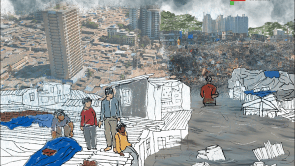
Heavy rainfall has wreaked havoc in the Indian states of Himachal Pradesh, Uttarakhand and Assam, triggering landslides and widespread destruction. As cities in the states continue to face the impacts of Climate Change with increasing frequency, the ill-preparedness to deal with such disasters has come to the fore. Lives have been lost, properties destroyed and many rendered homeless – all these seem routine every monsoon but this year has been devastating.
In Himachal Pradesh, rivers like the Bes, Ravi Sutlej and their tributaries spilled over, paralysing cities and many towns including tourist places which bolster the state’s economy. Nearly five lakh people were affected – many thousands displaced – across Assam as the Brahmaputra swelled up in June this year. In Uttarakhand, Haridwar and Rishikesh were threatened by the Ganga flowing close to the danger mark while Alaknanda, Gauri Ganga, Kosi were in spate affecting other cities and towns.
Floods are a natural element of the riverine ecosystem in monsoons; floodplains get inundated and, then, the waters recede. When rivers swell up now, their water occupies the floodplain areas which, unfortunately and indiscriminately, have been encroached upon with buildings and construction. Towns and cities are thus at risk. The rampant, unplanned and ecologically unsustainable urbanisation of the past few years has taken a toll on riverine ecosystems all around India, turning rivers which nourish and support towns, into threats.
Ecosystems that have taken decades – even centuries – to form have turned fragile due to the relentless urbanisation which claims every inch of available land, leaving little place for the water even as the monsoons become harsher and hazardous due to Climate Change. The result is human-induced natural disasters that have spelt doom for lakhs of people, old communities, living in these so-called ‘developed’ cities and towns.
Widespread destruction, loss of lives
The death toll in Himachal Pradesh floods crossed 150 this year. The total economic loss as a result of these floods has been pegged at Rs 10,000 crore. Tikender Singh Panwar, former Deputy Mayor, Shimla, and an urban specialist writes,[1] “Although Climate Change is expected to have played a hand in causing the high precipitation leading to these flash floods, human induced disasters resulting from planned development have played a significant role in causing such colossal losses.”
In the five years before 2022, it was estimated that 1,550 lives were lost and nearly 12,444 houses were damaged in the human-induced disasters triggered by “planned development”. The essay also adds that the Intergovernmental Panel on Climate Change (IPCC) VI report states that the Himalayas and coastal regions of India will be the hardest hit by Climate Change – which is evident from the recent extreme weather events.
Highlighting the noticeable pattern of increased precipitation occurring in shorter periods of time, he explains using data from the India Meteorological Department that “the normal rainfall during this period is expected to be between 720mm and 750 mm. However, in certain instances, it has exceeded 888 mm in 2010 and 926.9 mm in 2018. This year, the precipitation so far has been attributed to the combined effect of the south-west monsoon with western disturbances” with the total rainfall from June until the end of July being 511 mm.

Photo: Creative Commons
Panwar attributed the widespread destruction of the region to the uncontrolled expansion of hydropower projects that were started to attract investments in the region, development driven road expansion, cement plants and also extensive cutting of mountains in districts such as Bilaspur, Solan, Chamba to the occurrence of flash floods. He stresses on the need to involve local stakeholders and make local communities the custodians and insure assets, while making adequate changes in infrastructure planning to avert disasters.
The Assam State Disaster Management Authority (ASDMA) listed 10 deaths due to the floods this year. Dikhou River in Sivasagar and Brahmaputra in Neamatighat are flowing above the danger levels. A total of 6,863 people are affected in eight revenue circles of five districts including Dhemaji, Dibrugarh, Golaghat, Jorhat and Sivasagar, ASDMA report said. The worst affected district currently is Dibrugarh with 3,857 people still reeling under water, followed by Dhemaji where a total of 2,610 people are being affected.[2]
Maximum damage in tourism hotspots
Urbanisation in the Himalayas has ensured that places where construction was being carried out were the most affected by the disaster. A news report points out that the maximum destruction took place in the Shimla and Kullu-Manali valley owing to the construction going on in these two tourism districts. “For the last five years, the expansion of roads into four lanes has been going on in full swing. Heavy machinery and blasting techniques were used for this work and roads are being widened by cutting hills. Large walls were erected on the river side, making the river narrower.”[3]
A study on Himalayan rivers conducted between 1980 and 2003 found that extreme rainfall events doubled in the Himalayas during this period with extreme rainfall during both summer and winter monsoons. The study which contextualised the severity of hydroclimatic changes in the Western Himalayan region study also found that “the profiles of two Western Himalayan rivers (Bhagirathi and Sutlej) exhibit steep slopes in a stepwise manner, indicative of a landscape that rapidly responds to extreme precipitation by contributing to severe floods.” The findings of the study correspond to the need for hydro-infrastructure and an operational flood forecasting system to mitigate these increasing flood hazards.[4]
Economic setback
Floods in all the states have led to enormous disruption and losses besides the devastation wrought on land and people. The economic loss of the floods is estimated to be in the range of Rs 10,000-15,000 crore, according to the State Bank of India’s research report, Ecowrap.[5]
Frequent flash floods sound alarm
Flash floods, which have begun to make a frequent appearance in Himalayan studies were assessed in a study titled ‘Assessment of flash flood vulnerability zonation through Geospatial technique in high altitude Himalayan watershed, Himachal Pradesh India’. It was found that there was a flash flood risk in 20 sub-watersheds of the Beas valley. An analysis found that an area of 555 square kilometres, which is 47 percent of the total area, was very high priority and very susceptible to flash flood occurrences, and more than 90 percent of the total area was found to be highly vulnerable to flash floods.
“…detailed terrain information was used to identify the causes of natural disaster. Remote Sensing data such as Landsat 8 satellite data and ASTER (DEM) coupled with geological and geomorphological data were utilized in a Geographical Information System (GIS) environment for the estimation of flash flood risk in 20 sub-watersheds of Beas valley.”[6]
Photo: Creative Commons
Assam relives its nightmare
India’s northeastern state of Assam is not new to high-intensity rainfall and cloudbursts either. Monsoon hit Assam on June 10 this year. In late June, reports stated that more than 4,95,000 people across the state were affected by floodwaters.[7] Two major cities of Guwahati and Silchar were severely affected by floods this year.[8] Assam’s unrelenting rivers started to slowly retreat from the streets only at the end of July this year.[9] Assam’s situation begs attention to the downside of constructing on the floodplains of major rivers such as Brahamaputra, Barak and Kusiyara. The rivers routinely spill into streets during the monsoon, causing severe flooding and immense distress to residents. South Asia’s mighty Brahmaputra river and its tributaries swell and inundate villages and cities every year. Scientists say the worst is yet to come as the river’s potential for catastrophic flooding has been underestimated.
The new study, based on the rings of ancient trees in and around the river’s watershed, shows that the post-1950s period was actually one of the driest since the 1300s. The rings show that there have been much wetter periods in the past, driven by natural oscillations that took place over decades or centuries. The takeaway: destructive floods probably will come more frequently than scientists have thought, even minus any effects of human-driven climate change. Estimates probably fall short by nearly 40 percent, say the researchers.
“… Human vulnerability to floods along the Brahmaputra has increased in recent years due not only to sheer water volume, but because population and infrastructure are growing fast. On the other hand, accurate flood warnings have become more advanced, and this has helped many villages reduce economic and social losses.”[10]

Photo: Creative Commons
Shrinking Majuli island
A study on the riverbank erosion in Majuli island in Assam found that the river has been eroding land at an alarming rate since an earthquake of magnitude 8.7 struck the area in 1950. The study states the alarming difference in the volume of the river as follows: According to the Water Resource Department (WRD, 2008) of Assam, the River Brahmaputra occupied an area of 4,000 square kilometres in Assam in 1920s; in 2020, it occupies more than 6,000 square kilometres.
The report stated that the combined effects of a large volume of water, high silt content, heavy rainfall and unstable geology have made the river channel unstable, causing lateral erosion in India and Bangladesh. Assam lost land at the rate of 72.5 to 80 square kilometres every year between the years 1997 and 2008. The study claims that the Disaster Management Division of the Ministry of Home Affairs, Government of India, does not cover riverbank erosion as a natural disaster. The National Disaster Response Fund (NDRF, 2010) and the State Disaster Response Fund (SDRF, 2010) cover the natural hazards that are covered are; “cyclone, drought, earthquake, fire, flood, tsunami, hailstorm, landslide, avalanche, cloud burst, pest attack, and frost and cold wave”. This means that there is no policy framework under which people hit by the displacement and loss of their land as a result of riverbed erosion can seek compensation.
The report identifies riverbed erosion as a ‘hazard and resource management problem of global consequence’ and found that 3539 families had been affected by riverbed erosion between the years 2000 and 2012.[11] Majuli island, formed by the confluence of Brahmaputra and its branches, is shrinking because of soil erosion in the river. An article published in Homegrown sends out a warning. There was a time in the mid-19th century when Majuli was a contender for the title of world’s biggest river island being an estimated 1,200 square kilometres in area; today, it lies as barely 400 square kilometres, less than half of what it used to be. It is predicted by the Brahmaputra Board’s report that, at this rate, the island is likely to fully submerge within the next 20 years.[12]
As more cities develop and add more infrastructure, rivers are often sidelined and neglected or turned into a beautified urban space. With rivers being made to change course for major developmental projects, cities should be prepared to deal with the consequences.
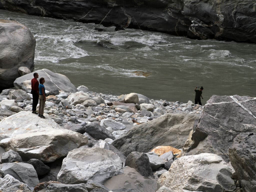
Cover photo: The Sutlej/ Creative Commons