The planned city of Bhubaneswar has undergone layers of changes. It has grown from a small town to a smart city — transforming into an urban jungle. The city has not exponentially grown in the past 50 years in terms of population; it was slow and steady growth as Odisha’s capital initially had a population of government employees only.
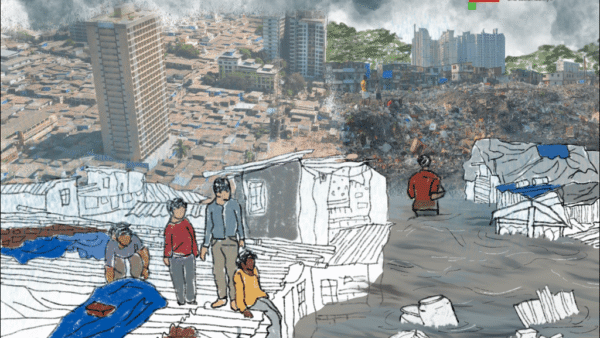
A laidback and sleepy town with lots of open spaces, Bhubaneswar was neatly divided into units which were well-connected and easily accessible. Replete with huge trees and shaded pathways, the city’s roads were cycle-friendly and uncongested. Surrounded by a huge expanse of forest covers of Chandaka, Nandankanan and Khandagiri-Udaygiri, the city had cool and pleasant weather throughout the year. The cool southern wind in the evenings brought respite from sweaty afternoons. The ecological damage as the city turned more concrete has led to increased heat waves with temperatures crossing 50 degrees Celsius every summer.
In this compendium, we curated research papers, articles, and books on Bhubaneswar, then and now, analysing the plan of the new city, and the shape it has taken.
Planning the capital city
Author Ravi Kalia, who specialises in South Asian studies, particularly urban-architectural history in colonial, post-colonial India, writes in detail about the city’s making in his book Bhubaneswar: From a Temple Town to a Capital City.
“That the Orissa Administration Committee had recommended Cuttack for the capital city even before the new province of Orissa was officially inaugurated on April 1, 1936, did not prevent a heated debate from developing over the question of the capital site. Soon after the inauguration of the new province, the question of where to locate the capital turned up in the Orissa Legislative Assembly and was not to be settled until a decade later. At the heart of the controversy was the stark fact that all recommendations for the capital city had been made by the government-appointed committees, and the process did not involve the participation of either the people or their representatives,” Kalia writes on pages 99-100.
Kalia gives minute insight into the work of the first planner of Bhubaneswar, Otto Koenigsberger. Consequently, Koenigsberger’s overall design for Bhubaneswar was “based on the simple device of one main traffic artery to which the neighbourhood units [were] attached like the branch of a tree.” He informed his Indian clients that unity in planning was to be achieved by using the main artery to “connect the neighbourhood units with the main centre or centres of business and professional life.”
Koenigsberger felt that mass transit has made radial planning obsolete, which was useful when walking was the predominant means of transport, necessitating the shortest distance between home and the center of commercial or professional interest. He believed that modern towns were too large for pedestrian traffic, and application of mass transit in radial towns created difficulties.
New city drafts many master plans
Sasmita Rout and Rabi Narayan Behera in their research paper ‘Master planning implementation in Bhubaneswar: a case of Bhubaneswar Development Authority, Odisha’ write:
The city has adopted multiple planning interventions such as neighbourhood planning in its first master plan (1948) by German planner Otto H. Koenigsberger (1948, 1952) that continued through the second master plan (1968) which was prepared by the Directorate of Town Planning, Odisha. Third Comprehensive Development Plan (CDP, 1994) was prepared by Bhubaneswar Development Authority (BDA) and the fourth CDP in 2010 was prepared by IIT Kharagpur, an outsourced agency (BDA 2010).
In the first and second master plans neighbourhood planning approach was used in Bhubaneswar where the neighbourhoods were the basic planning units for planned developments. But in the third and fourth plan, Bhubaneswar has moved to a rational planning approach where the Development Authority is the apex body to prepare and implement the master plans in which ‘Zones’ constitute the basic units for planned development. Rational planning approach is essentially centralized in nature, rejects collaboration with parastatal agencies and also lacks public participation in the planning process. Neighbourhood planning approach on the other hand advocates planning the neighbourhood units and emphasises the role of neighborhood associations in planned development of the locality which aims at strengthening the functioning of the city as a whole.” [1]
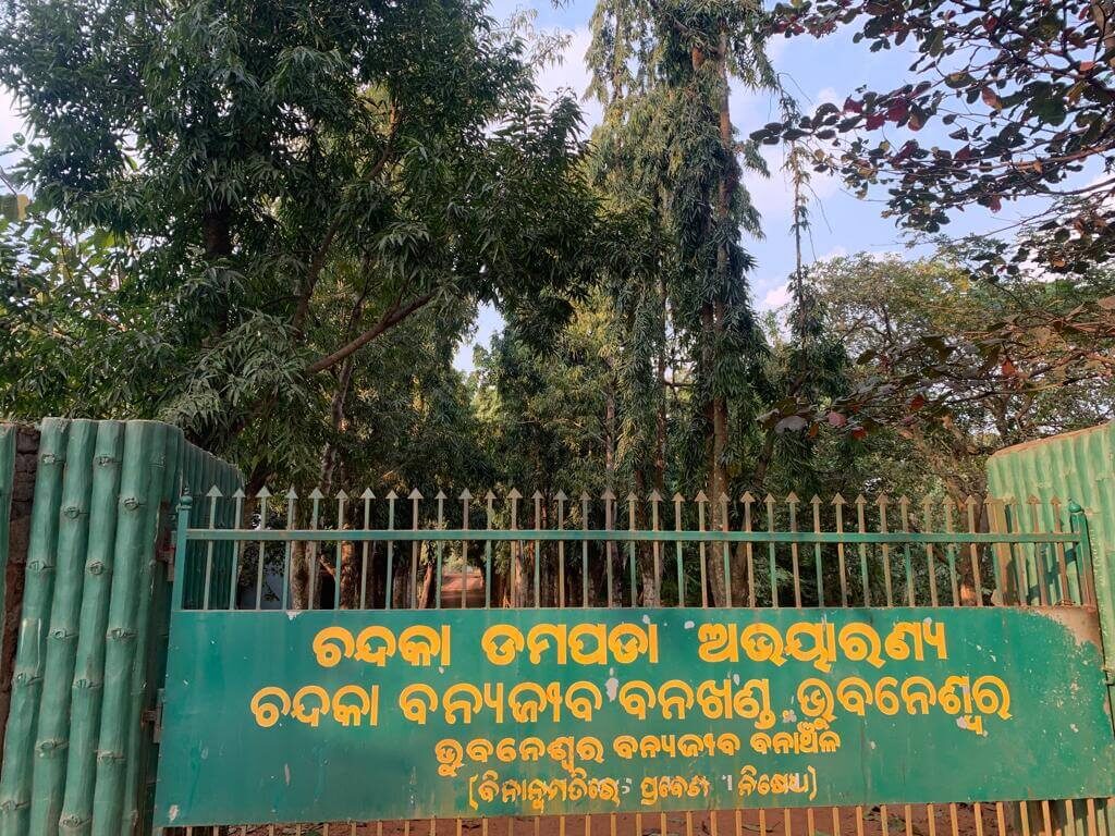
Photo: Shobha Surin
How neighbourhoods developed
Architect Mayarani Prahraj writes about Bhubaneswar’s transformation in an article ‘Smart City Bhubaneswar must reflect its cultural identity’ published in the Daily Pioneer.
“Architect Julius Vaz played an important role in shaping the skyline of Bhubaneswar. He designed most of the government buildings. Vaz adopted the Hindu style of architecture with some modifications to take advantage of modern methods of construction and to meet new social needs of the people. None of his works in Bhubaneswar is a copy of buildings from other areas. It is original and unique.”
Koenigsberger specified a few guiding principles and climatic design features essential for buildings in the city and suggested the Government buildings not be designed for air conditioning in the initial stage because the weather was agreeable enough. According to his guidelines, most government buildings have impressive corridors, which are also intended to protect the walls of office rooms from direct sun rays.
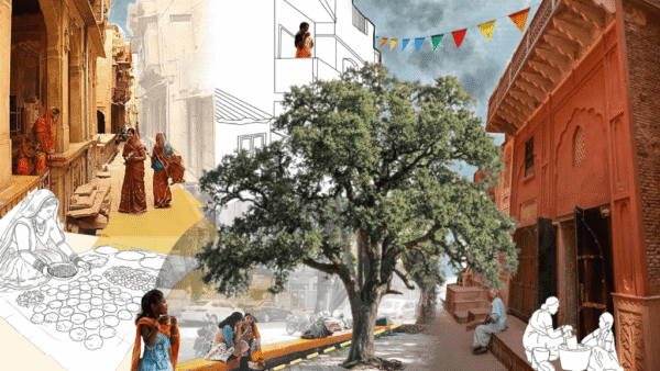
Neighbourhood units were designed by Koenigsberger with the best amenities and facilities of urban life, with units placed at short distances to give people easy access to school, hospital and other amenities. He suggested seven types of roads – footpaths, parkways, cycle paths, minor housing streets, major housing streets, main roads and main arteries -for seven groups of users for seven different functions. The layout of housing was designed with parallel rows to admit sunlight and fresh air. Contemporary neighbourhoods facilitate pleasant and comfortable environments.[2]
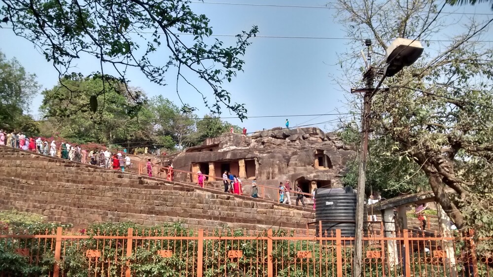
Photo: Anurag Choubisa/ Creative Commons
Geddes’ touch in city’s growth
‘The Wandering Maps in the City of Bhubaneswar, India’, a research paper published by Nibedita Mishra in 2017, reads:
“Otto Koenigsberger planned many other company towns before he was appointed as the chief planner of Orissa. Albert Mayer and Matthew Nowicki, around the same time initiated the planning of Chandigarh adapting to the prevailing concept of modernisation and development within the context of Indian spatial planning, before Corbusier built it as a bold capital for Punjab after partition. On the contrary, Patrick Geddes researched and wrote extensively about new town planning methods in the Indian context and touched upon as many as eighteen Indian cities. Koenigsberger and Geddes both believed in John Ruskin’s approach of examining the relationship of social processes and spatial forms.
They believed that, by changing the spatial form, it is possible to transform social structure as well. Bhubaneswar values the act of preservation of human life and energy, rather than superficial beautification. The city also incorporates the action planning for future growth, which was nearly similar to Geddes ideas of an orderly development plan carried out in stages. All planners who came and worked in India during pre-and post-independence times employed the idea of city building as their ultimate goal, prioritising people’s preferences and cultural requirements.”
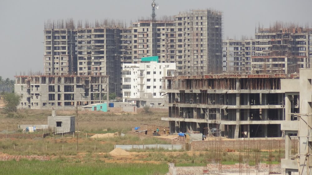
Photo: Amartyabag/ Creative Commons
Rising population and urbanisation
Dr Pragnya Paramita Jena’s paper ‘Urban Growth and Climate Change- A Study in the Context of Bhubaneswar City of Odisha’ explains the changing climate of Bhubaneswar as an effect of rapid urbanisation.
“The present Bhubaneswar has grown in all directions covering Chandrasekharpur, Kaling Vihar, Old Town and areas adjacent to Daya West Canal, the tributary of river Kuakhai. In view of the rapid growth of Bhubaneswar, a Development Authority was constituted under the Orissa Development Authority Act, 1982, and is responsible for Bhubaneswar Urban Development Area. The city was originally planned for 40,000 people with an area of 1,684 hectares and is now accommodating about 7.50 lakhs population in an area of about 135 square kilometres. The development process could not be restricted to its development plan. Naturally the thrust of this development process will be towards the periphery of the city.
As a result, visible effects of development are observed in the fringe areas of the city. But the periphery of the city comprises rural-urban fringe areas consisting mostly fertile agricultural land, archaeological sites, wild life sanctuaries and protected forest areas…this urban growth of Bhubaneswar has created environmental threat to the fragile ecosystem of Bhubaneswar and its periphery areas. The Chandaka wildlife sanctuary, lying at the north western urban fringe of the Bhubaneswar city is an ecologically sensitive area being threatened by the growth and development of Bhubaneswar. Being close to this highly populated urban conglomerate on the east, the pressure on the Chandaka-Damapara wildlife sanctuary is tremendous and on the increase. The GIS based analysis and derived are as statistics indicates that the total forest area of the sanctuary (including dense open and scrub forest) was 90.27 percent of the total area during 1970 which has been reduced drastically in 2005 to 62.72 percent (Rath, K.C and N.R., 2008).
With rapid urban growth in Bhubaneswar urban complex land transformation has taken place in large scale from agriculture land, forest land, river banks etc to urban uses, which includes development of residential areas, conversion of agricultural land to plotted land developments (acquired primarily for future residential requirements). Bhubaneswar has also developed as an education hub in the eastern region of the country so acres of land has been used for institutional purposes mainly engineering and medical colleges and other private colleges.”[3]
The government view
The Odisha government’s website explains the growth of the new capital. “The city which was planned originally for 40,000 people with an area of 1684 Ha of land is now accommodating about 7 lakhs people with an area of about 135 square kilometres. The shape of the present city has assumed a rectangular form which shows the signs of development of the town on a vast unutilized undulating plateau. The city has extended in seven different directions during the last few decades by engulfing the fringe villages. This extension has got varied length and dimensions from the core of the original town, which has been supposed to lie at the Lingaraj temple area.
The present township of Bhubaneswar sprawls over 233 square kilometres. comprising a total 2,312 revenue villages. The shape of the city is almost dumble. Its boundaries in the south, southeast and east are somewhat irregular. The city is divided into 30 wards under the Bhubaneswar Municipal Corporation control. There are also 204 more villages along the rural periphery, which are coming under the direct sphere of influence of the city. As per 1991 census there are thirty (30) numbers of wards under Bhubaneswar Municipal Corporation Area. The jurisdiction of the Bhubaneswar Urban Area is under the Bhubaneswar Development Authority (BDA).”[4]
Cover photo: Amartyabag/ Creative Commmons