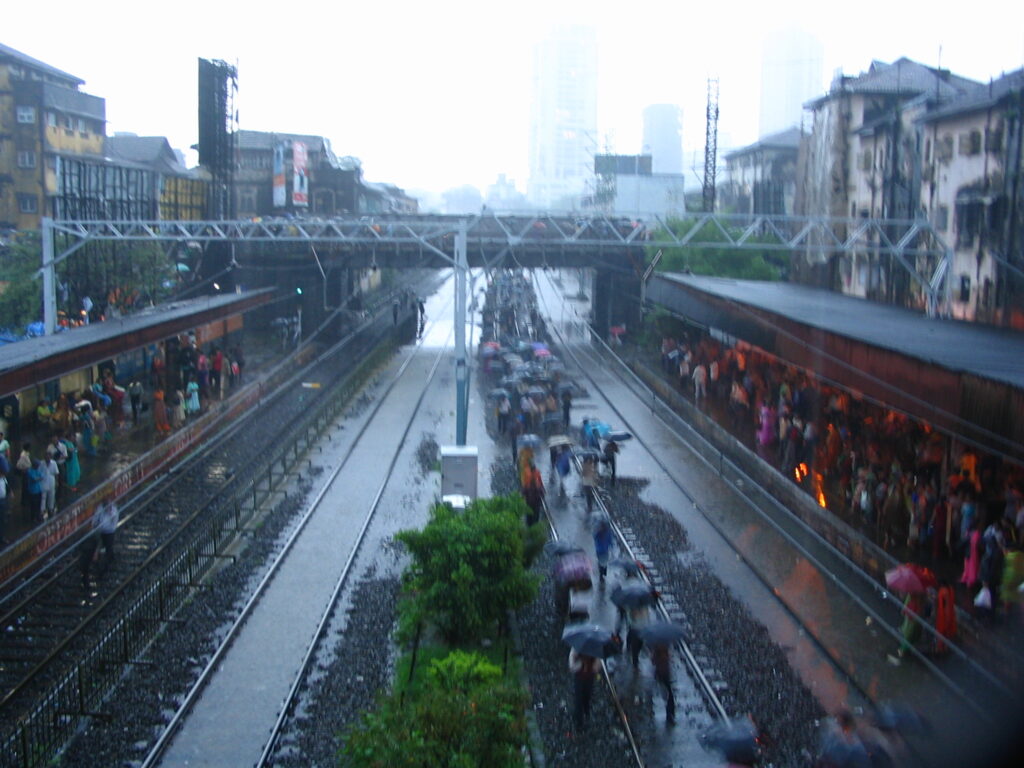
During the four months that the southwest monsoon spends in Mumbai, residents of Janta Nagar, a cluster of tiny brick and cement sheet homes in the suburban slum colony of Mandala, a lesser-known suburb of Mumbai, find their untiled floors damp even on days when the skies are clear. To keep their homes dry, some slap on cutaway pieces of linoleum, others pat the floor dry with sand.
Mandala, built on marshy land adjoining a fetid creek, faces the Deonar municipal landfill, its garbage hillock eight storeys tall. For this and dozens of other slum colonies in India’s financial capital, where 60 per cent of residents cannot afford formal housing, the marsh and the sea are ever-present entities. Rainy days flood their homes and streets every year, and nobody bats an eyelid.
But when Mumbai’s municipal commissioner Iqbal Singh Chahal spoke in August 2021 about a climate action plan, his comment that “Cuffe Parade, Nariman Point and Mantralaya will be under water” by 2050 caught attention. These downtown landmarks of corporate India are “going to disappear”, Chahal said. He appeared to be citing the most dire assessment of the vulnerability of coastal megacities to rising sea levels, laid out in a research paper by Princeton-based climate science organisation Climate Central. Authored by Scott Kulp and Benjamin Strauss, the paper appeared in the journal Nature Communications in October 2019. Rising seas could “all but erase some of the world’s great coastal cities”, said a New York Times report based on the paper which cautioned that “much of Mumbai” was at risk of being wiped out.
Iconic areas at risk
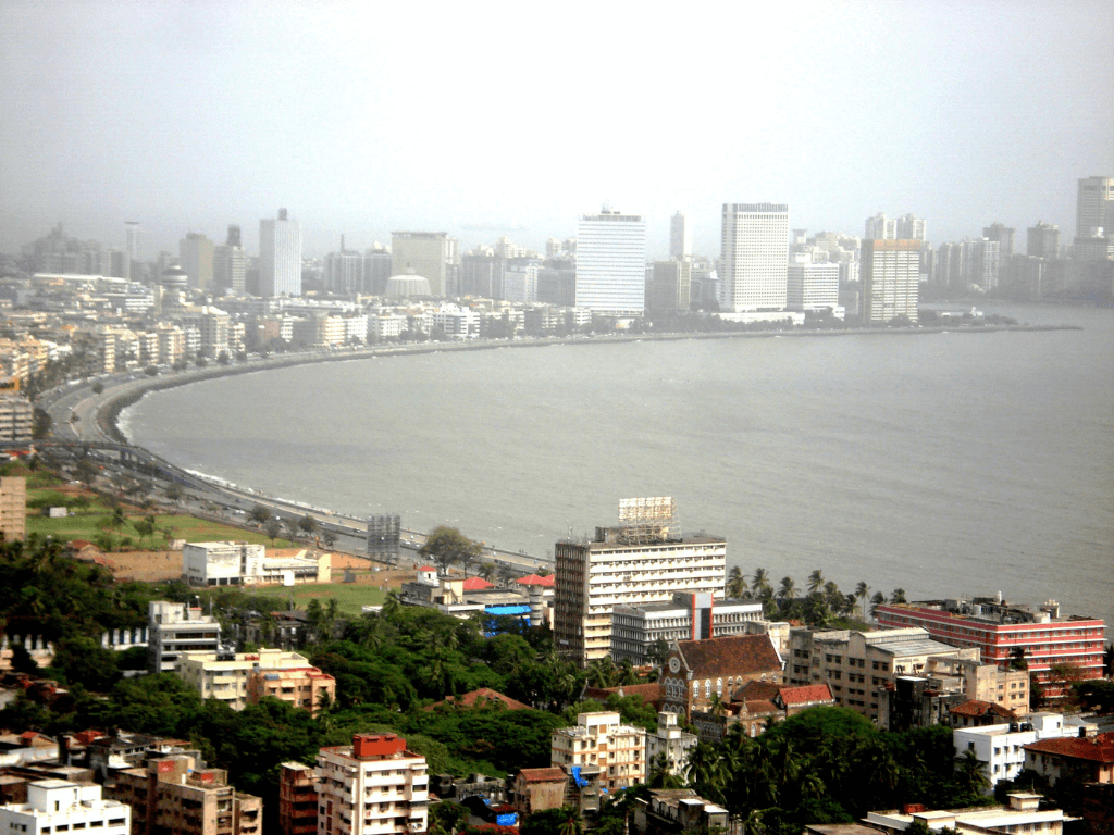
The map for the year 2050 projected large parts of Mumbai under water at every high tide, suggesting inundation of iconic seafront areas in Mumbai including the Prabhadevi-Mahim beach, the graceful curve of the Juhu beach and inland parts of Juhu, the densely populated localities around the creek in Versova, Lokhandwala and across the creek in Madh, and large parts of Gorai, Uttan and Mira-Bhayander further north.
On Mumbai’s eastern sea front, Sewri and Mazgaon were likely to be under water at high tide and chronic flooding spots in south-central Mumbai would experience inundation during high tide. At very high risk also are fisherfolk colonies of south Mumbai, slums off Cuffe Parade, sea-front slum redevelopment projects, and the historical port area. Every high tide could flood low-lying parts of the former archipelago of seven fishing islands (Bombay, Mazgaon, Parel, Worli, Mahim, Little Colaba or the Old Woman’s Island, and Colaba) joined by land reclamation from the 1700s onwards to build colonial Bombay. Three centuries later, the sea would do the reclamation.
Chahal translated the maps concisely: “About 70 per cent of A, B, C and D wards”. This includes Colaba, Cuffe Parade, Nariman Point, Umarkhadi, Mohammad Ali Road, Marine Lines, Kalbadevi, P D’Mello Road, Girgaum and Breach Candy, all localities with ground floor commercial establishments, marketplaces, some with 70 to 100-year-old buildings. Several of these locations will soon be connected by an underground Metro rail or the coastal road being built on reclaimed sea-front land.
A perfect storm brewing
Science shows a rise in sea level off Mumbai’s coast. The city’s tidal gauge, installed by the British at Apollo Bunder, has recorded sea level data for more than 100 years. Trends of sea level rise from gauge records, studied by scientists at the National Institute of Oceanography (NIO) in 2007, showed that net sea level rise in Mumbai over 113 years was 1.2 mm per year.
Regardless of climate mitigation measures, there will be a rise in sea level of 15 to 20 cm (6 to 12 inches) by 2050, said Dr Anjal Prakash, research director, Bharti Institute of Public Policy, Indian School of Business, who was the coordinating lead author for the Intergovernmental Panel on Climate Change (IPCC) Special Report on the Oceans and Cryosphere in a Changing Climate (SROCC) which put the global mean sea level rise at 1.4 mm per year. The sixth and latest assessment report of the IPCC has warned that the global mean sea level rose more rapidly in the 20th century than in any previous 100-year period over the last three millennia.
Mumbai’s unique geography renders her particularly vulnerable to flooding – several locations, including those far inland, are built lower than high tide levels; the city has an estuarine setting and cyclical bouts of land reclamation were followed by dense habitation on former marshlands. Asked if Mumbai’s coastal areas will have to be abandoned and their economies spatially shifted, Dr Prakash said, “Yes, indeed. The coastal areas will be at increased risk and depending on the projections and real-time situations, we must make important decisions…(but) climate models give us broad projections which may not be accurate enough for us to make nuanced decisions.” Despite the uncertainties, what’s safe to say is that traditionally low-lying areas will be more prone to flooding on account of the rising sea, not limited to monsoonal inundation.
Credit: Creative Commons
The October 2019 Climate Central paper reaffirmed warnings about the vulnerability of coastal populations to higher and more frequent flooding on account of sea-level rise. More than 70 per cent of the total number of people worldwide live on such “implicated land” (that will be partly or fully below the high tide line) in eight Asian countries — China, Bangladesh, India, Vietnam, Indonesia, Thailand, the Philippines, and Japan, it pointed out. However, the interpretation that this points to a near-erasure of cities such as Mumbai is alarmist, just bad science and “wildly inaccurate”, according to Raj Bhagat Palanichamy, a senior program analyst with World Resources Institute (WRI).
Palanichamy, who specialises in geo-analytics and is based in Nagercoil, traversed the length and breadth of Mumbai along with a WRI team working on the Mumbai Climate Action Plan (MCAP). The dire warning is flawed because topography estimates based on satellite imagery encounter the common problem of coarse datasets, he explained. Criticising the ‘bathtub analytics’ approach, he said, “The idea that you increase water in a tub and the level rises – the sea doesn’t rise that way.” In some places, he said, sand deposits could increase coastal height by two to three metres within a span of 10 to 15 years, rendering a 0.5 metre sea-level rise infructuous. Still, “liveability will be affected in some parts,” he added.
Experts point to the wide discrepancies among various models’ projections of long-term sea-level rise but agree that the rising sea will bring in sweeping new challenges for Mumbai. Cities have begun to gird their loins for this inevitable contest with nature. The Boston Barrier, a 300-tonne floodgate built in 2020 in Boston, Lincolnshire (UK), built at a cost of £ 100 million to protect 14,000 properties from tidal flooding, was put to the test for the first time in 2021 following a warning of very high tides. In the United States, solutions to protect the vulnerable South Florida coast from another destructive storm after Hurricane Irma led to the proposal for a $ six billion six-mile wall running parallel to the coast. New York has proposed a storm-surge barrier too.
Measures recommended for Mumbai
Mumbai, with its considerably lower budgets and the deeply uneven purchasing power of its people, will require solutions that go beyond the binary of abandoning some localities and finding engineering solutions such as sea walls.
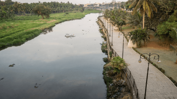
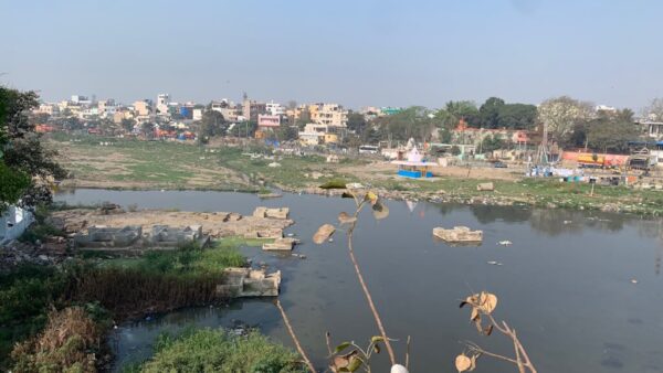
“For Mumbai, both adaptation and mitigation measures are required,” said Dr Prakash, recommending immediate adaptation measures such as cleaning the Mithi river and other drainage systems, revamping drainage infrastructure to make it climate resilient, and protection of mangrove forests. Other efforts such as urban forests, protection of water bodies, and a decentralised waste management system should be instituted too, he added. As part of IPCC’s 6th assessment cycle, Dr Prakash is the lead author of the chapter on cities, settlements and key infrastructure and a cross-chapter paper on mountains. “With every fraction of the sea-level rise, there would be a profound impact on the coastal cities,” he said.
For Chahal and his successors, the challenge will be to convince multiple stakeholders that existing projections of sea level rise – confirmed or contested – are indeed useful to begin work on ambitious, wide-ranging and inclusive mitigation and adaptation strategies. Mumbai joined the C40 Cities Network in 2020, becoming only the fifth Indian city in this global network, and began work on the MCAP. Unveiled in March 2022, the plan recounts the latest scientific assessments of coastal flooding and extreme rainfall events in Mumbai. It commits to a “net zero and climate-resilient Mumbai by 2050” but stops short of setting radical targets that will be fundamental to an inclusive climate plan.
While the MCAP looks at flooding as a major area of study, it does not appear to consider the possibility that the habitability of some areas could be severely impacted by 2050. We know from the MCAP that Mumbai faces three distinct risks – increasing heat and heat island effect; increasing flood risk as a result of sea level rise and during extreme rainfall events, tropical cyclones or storm surges; and increasing air pollution. And that by the end of the 21st century, the mean temperature and number of hot days above 35 degrees Celsius will increase.
It promises “just transitions” and ‘inclusive” climate solutions, and offers truisms such as “flood-resilient infrastructure”, “early warning system”, “sensitisation of vulnerable and coastal communities”, “increasing the vegetation cover” and, “equitable distribution of open spaces”. It acknowledges that more than 35 per cent of Mumbaikars live within ‘the influence zone’ or a 250-metre radius of BMC-reported flooding hotspots. The number of internal climate migrants is expected to rise between 2020 and 2050.
However, at a stakeholders’ consultation on the MCAP in April, municipal officers conceded that even maintaining and augmenting existing storm water drainage systems is a challenge on account of habitations blocking their entryways. What chance then do Mumbaikars, especially the less-privileged in informal housing, stand when the MCAP does not even acknowledge that municipal planning and projects follow arbitrary ‘cut-off’ dates which categorises people into ‘eligible’ or ‘ineligible’ for permanent relocation?
Shweta Damle of the Habitat and Livelihood Welfare Association, which works with the urban poor on housing and labour rights, said Mumbai’s poor will no doubt bear a disproportionate burden when the effects of climate change and sea-level rise become apparent. “Not just flooding, but sea-level rise will also lead to warmer seas and a more humid coastal climate. The International Labour Organisation (ILO) has said the urban poor could lose up to two hours of work every day, that means fewer hours of gainful work for those dependent on daily wages,” Damle said.
The MCAP does promise action on retrofitting thermal comfort solutions for Mumbai’s informal houses, but without a roadmap or other details. Climate Change preparedness has also tended to focus on the more well-off, she said, citing the example of CCTVs installed in flood-prone areas as part of Mumbai’s disaster management plan for early detection of and quick response to flooding or other disasters. “Most slums were left out of this plan,” she added.
Municipal doublespeak
Large capital works to prevent flooding, including new storm water drain pumping stations, tunnel works, underground holding ponds, and widening/training of the Mithi and other rivers have already been budgeted for, with anticipated expenditure on these running into more than Rs 7,500 crore in the current financial year alone. The BMC is also planning a “tsunami atlas” and hazard vulnerability assessment, with plans to use artificial intelligence and machine learning techniques in these explorations.
Sea level-related changes may not be countered by the storm surge engineering solutions at all. Saltwater ingression into freshwater bodies is already affecting water supply in some parts of India, said Dr Prakash. “It’s not the sea-level rise alone that is problematic.” Submergence, or its absence, will be only one of several factors for charting Mumbai’s climate survival course – for example, should the focus be on coastal engineering solutions that may be used five or six decades later, or on an immediate plan to protect coastal communities years before that? Some Mumbaikars will need climate solutions earlier than others, by decades.
Meanwhile, the BMC continues work on its ambitious Rs 12,950-crore coastal road running along the length of Mumbai’s western coast without so much as a pause for discussion on sea level rise, despite the latest IPCC report terming it an example of “maladaptive infrastructure”. There will be, among tunnels and elevated roads, an incredible 50 hectares of reclamation for a “green belt” with recreation facilities and underground parking areas.
This apparent doublespeak from the municipality is one cause for worry, the other fear being that plans for climate-ready Mumbai could take too long to be completed – to cite an example of the slow-paced infrastructure work, some recently completed storm water pumping stations were proposed in the 1990s.
Along the coast, the sea and ground water are in a situation akin to a tug of war, and 0.5 metre rise in sea level will likely push more sea water in, rendering colonies such as Janta Nagar in Mandala and most other suburban Mumbai slum colonies – where homes are built without strong foundations on marshy or creek-side land – vulnerable to ingress of seawater into sewers and drains, pushing back toxic sewage and sludge. For Mumbai, and indeed for other coastal megacities, the future is also one of civil strife, tensions arising from the climate crisis among groups wielding unequal amounts of power. This too puts a premium on planning and preparing – sincerely and fairly – for climate change impact.
The city by the sea may not all be drowned by the rising sea, but not drafting strategies for retreat will prove costly in the long run especially for the poor who will be forced to relocate. As the science evolves and gives more precise projections of sea level rise, adaptive strategies for Mumbai must also evolve.
Kavitha Iyer has been a journalist for 20 years, reporting and editing stories on cities and development issues among other subjects. She is also the author of Landscapes of Loss: The Story of an Indian Drought.
Cover photo: Creative Commons

There are 2 comments
Though I respect Mr Chahal for his work, I would not agree with him on this. Even if his prophesy turns to be true, there are vital steps taken and some steps need to be taken to avert this catastrophe. That discussion would take a long time and a different forum. Nice article.
This is something that will most likely happen in our lifetime, so this is not just the concern of leaving a better world for future generations or our grandchildren. Though the poor will certainly bear a disproportionate share of the impact of water submerging our cities, even the affluent cannot really run away from the phenomenon.